Exactly 504 years ago, on 6 September 1522, a ship named Victoria arrived in Sanlúcar with eighteen survivors from an expedition that had departed with more than two hundred. Juan Sebastián Elcano was in command, and with that arrival, the first circumnavigation of the world was completed. They did not demonstrate that the Earth was round—that had been known since antiquity—but they did prove that it was entirely navigable, that the oceans were connected, and that one could travel around the planet and return to the starting point. From that moment on, it was necessary to draw that round world upon the flat paper of a navigation chart. And that gesture—flattening a sphere—contains a problem that this very week has reached the UN General Assembly.
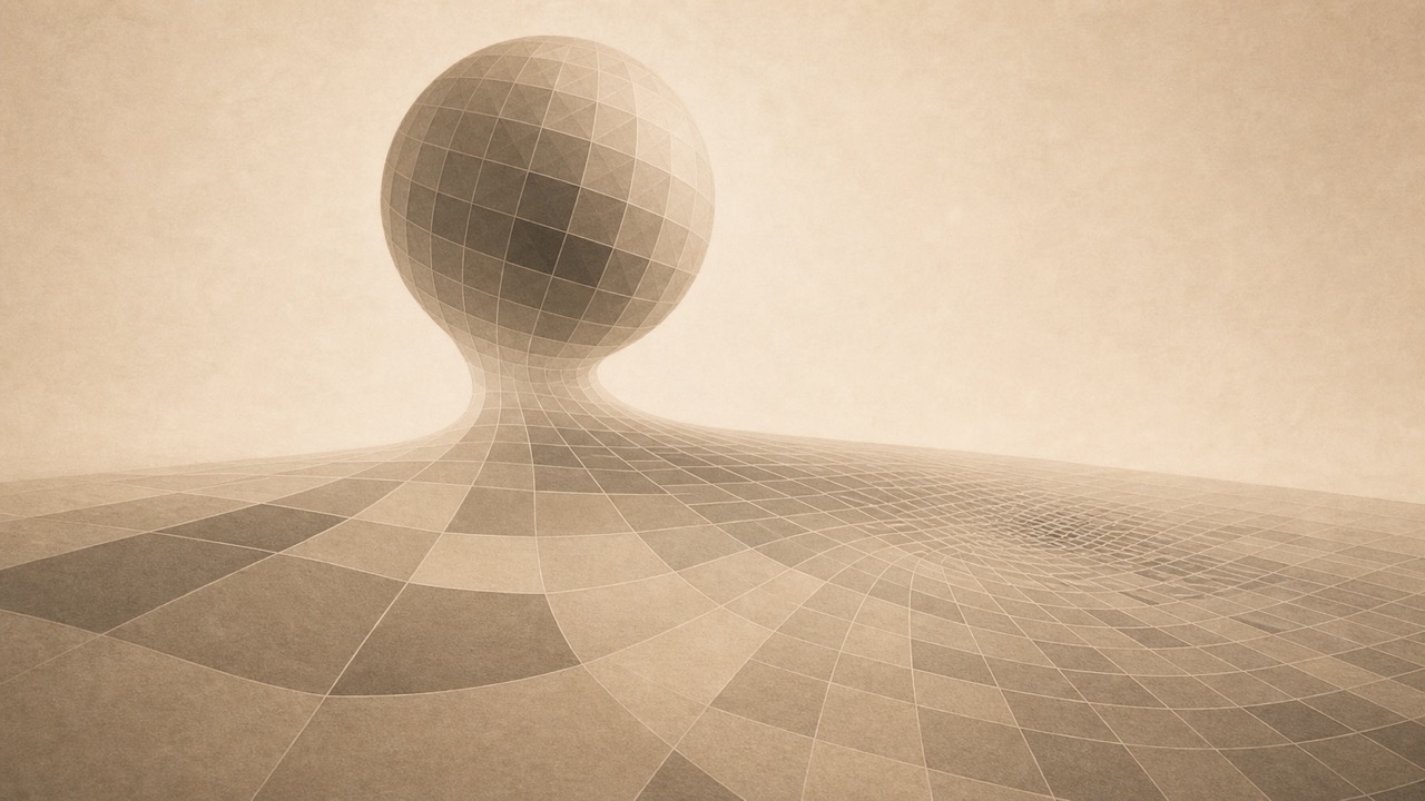
The problem is geometric and lacks a perfect solution: a sphere cannot be unfolded onto a plane without distorting it. It is impossible, not for lack of ingenuity, but due to mathematics. Any map of the entire world lies about something: size, shape, distances, or directions. There is no neutral map, only choices regarding which lie one accepts in exchange for which truth. And the choice that has governed our image of the world for nearly five centuries has a name: the Mercator projection, drawn in 1569, precisely for navigation.
Mercator made a specific and sensible choice for his era. His map preserves angles: a straight line drawn upon it represents a constant bearing, which allowed a mariner to set a course and maintain it. For navigation, it is highly useful. Yet, this fidelity to angles is purchased at the cost of an infidelity to size, which increases as one moves away from the equator and surges towards the poles. On the Mercator map, Greenland appears as large as Africa. In reality, Africa is approximately fourteen times larger. Russia appears colossal, Canada and northern Europe are inflated, and everything near the equator—the entirety of Africa, a significant portion of South America, and southern Asia—appears relatively small. It is not that Mercator shrinks those lands: it is that he enlarges the others. However, the effect upon the eye is identical: the world we have observed for generations possesses an inflated north and a diminished centre.
This week, the UN General Assembly approved a resolution, promoted by Togo on behalf of African nations, which recommends ceasing the use of Mercator in textbooks, atlases, and official websites, in favour of projections that respect the true size of the continents, such as the recent Equal Earth. The resolution neither prohibits anything nor is it legally binding: it recommends. Yet, it performs an action that transforms what was for centuries an unconsidered habit into a conscious decision. For five hundred years, Mercator has been the default image of the world, and no one ever voted to select it. It was imposed by custom, by the convenience of printing, by inertia, and latterly because it is the default used by mobile maps. Now, for the first time, someone asks aloud: why do we view the world in this manner, rather than another?
Equal Earth is not the 'true map' that finally replaces the false one. No such true map exists. Equal Earth makes the opposite choice to Mercator: it preserves the size of the continents, but at the cost of distorting their shapes. It is as partial as Mercator, merely sacrificing different details. The discussion concerns two methods of distributing an inevitable distortion, and which serves us for a given purpose. Neither conveys the entire truth. For navigation, Mercator remains irreplaceable. For teaching a child the size of Africa compared to Europe, it is misleading. The question is what we desire a map to convey and what we are prepared for it to conceal in return.
There is a political layer to all of this. The promoters of the resolution maintain that viewing Africa systematically diminished for centuries has shaped how its weight in the world is perceived, and in this, the geometric fact supports them: the distortion is real and measurable, not an impression. The resolution passed with an overwhelming majority, one hundred and sixty-four countries in favour and only one against, the United States; several others abstained for specific reasons, and the resolution itself clarifies that it does not affect borders. That diplomatic debate has its own terrain. My concern lies further back: that a method of representing the world, repeated for sufficient time, ceases to appear as a choice and begins to appear as the world itself. We cease to see the map and believe we are seeing the Earth.
It is, on a different scale, the same problem posed by a painting before which one must move to view it in its entirety: no single position captures everything visible, and to see one thing requires ceasing to see another. Only here, the position is not chosen by each spectator before a painting. We all chose it five centuries ago, without a vote. For that is what custom does to any representation: it renders it invisible. No one looks at a Mercator planisphere and thinks, 'this is one of many possible ways to flatten a sphere, with its advantages and its distortions.' We look at it and think, 'this is the world.' The representation has consumed the represented. And what the UN resolution achieves, regardless of whether it is implemented or not, is to make the choice visible once more: to remind us that behind every map there is someone who decided what to preserve and what to distort, and that this decision, taken five centuries ago to assist ships, continues to tell us in silence where the centre of the world lies and where the margin. Flattening a sphere always leaves something distorted. The only open question is who chooses what, and why we had gone so long without realising that a choice had been made.
About the open conversation
This text originates from a news item this week, the UN resolution (4 September 2026) recommending the abandonment of the Mercator projection in education and official websites, to consider something that exceeds it: that no neutral map exists, that every projection chooses what to preserve and what to distort, and that a representation repeated for long enough ceases to appear as a choice and begins to appear as the world itself. I distinguish the geometric fact (no flat projection preserves everything; Mercator is faithful to angles, Equal Earth to area) from the interpretation, I avoid presenting any map as 'the true one,' and I intentionally leave out the arbitration of the political and diplomatic layer of the resolution, which has its own domain. If anyone wishes to intervene from the fields of cartography, geography, or the theory of representation, this notebook remains open.
Sources
UN General Assembly Resolution A/RES/80/307 (4 September 2026), 'Correct the map', promoted by Togo on behalf of the African Group and supported by the African Union; approved by 164 votes in favour, 1 against (United States), and 6 abstentions; non-binding; does not prohibit Mercator. UN News, 'Stop making Africa look small'.
Projections: the Mercator projection (Gerardus Mercator, 1569) is conformal (it preserves angles, converts constant bearings into straight lines, and distorts areas towards the poles); Equal Earth (B. Šavrič, T. Patterson, B. Jenny, 2018) is equal-area (it preserves surface proportions, not shapes). Article "The Equal Earth map projection", International Journal of Geographical Information Science; Encyclopaedia Britannica, "Mercator projection".
Distortion: Africa (~30.4 million km²) is approximately 14 times larger than Greenland (~2.17 million); areas according to Encyclopaedia Britannica (entries for Africa and Greenland). Professional cartography has employed other projections (Robinson, Winkel Tripel) for general planispheres for decades.
Elcano: the nao Victoria arrived in Sanlúcar de Barrameda on 6 September 1522, completing the first documented circumnavigation (Fundación Elkano). The sphericity of the Earth had been known since antiquity.
Corrected on 27 September 2026: the areas of Africa and Greenland are attributed to Encyclopaedia Britannica, not to the UN.