
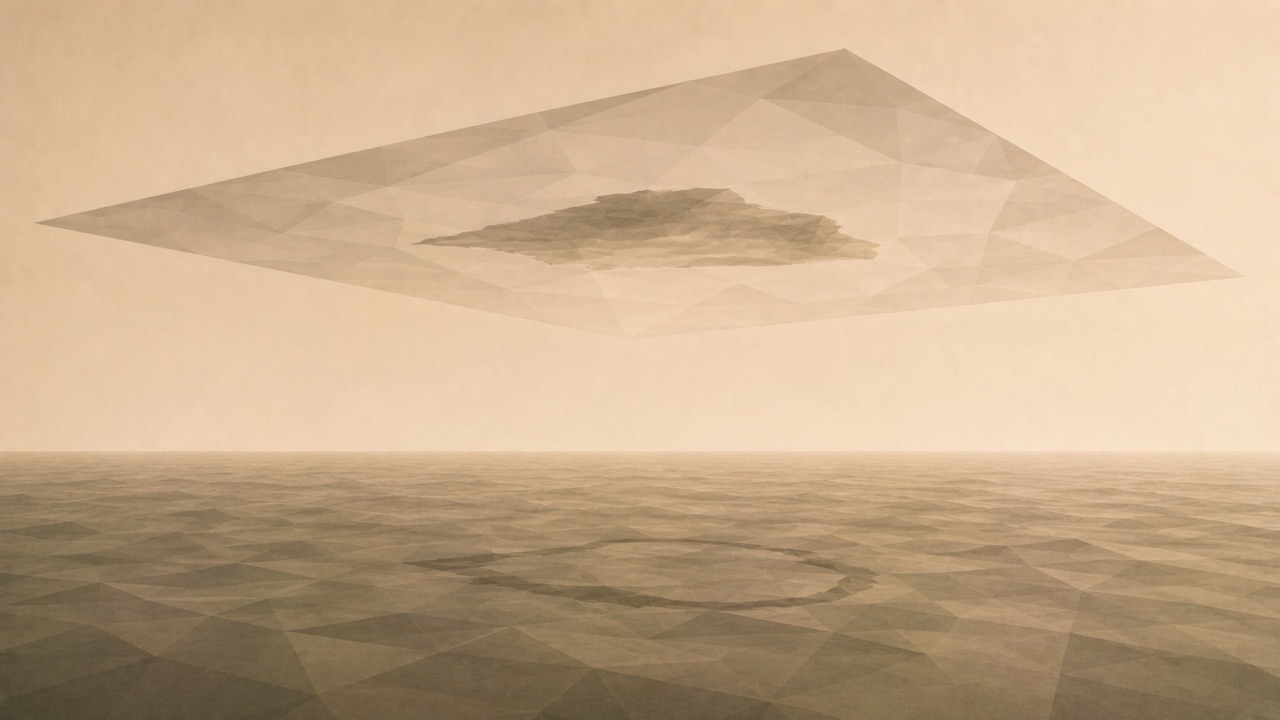
In October 2012, an Australian research vessel was navigating the Coral Sea, between Australia and New Caledonia, and set a course for an island that appeared in its navigation data. It was named Sandy Island, measured approximately twenty-five kilometres in length, and had appeared on cartographic records for over a century. The captain approached slowly, fearing a grounding. And where the island should have been, there was nothing: open sea, and beneath the keel, one thousand three hundred metres of water. The island had not submerged. It had never existed.
Its history commences in 1876, when a whaler named Velocity reported sighting breakers and sand islets in that region. No one disembarked, nothing was measured; an uncertain sighting was recorded. In 1908, a British Admiralty chart incorporated that report and depicted an island there. From that moment, Sandy Island existed, not in the ocean, but on maps, which is a different place and, as it transpired, a more enduring one.
That island, drawn in 1908, passed from one chart to another for decades. When the digital age arrived, someone digitised its outline and incorporated it into a global database of coastlines. From that database, it was inherited by a global terrestrial relief model. From that model, it was inherited by the great international bathymetric atlas. And from there, it migrated to Google Earth and scientific publications. At each transition, no one questioned whether the island existed. The data was merely copied from the previous source, which in turn had copied it from the one before, tracing back to a whaler who, one afternoon in 1876, believed he saw something. Such is the entire life of an error.
When the error transitioned from paper to data, it was not corrected: it was strengthened. In the world of paper, a dubious chart was a dubious chart. In the digital world, the same island appeared simultaneously in the coastline database, the relief model, the bathymetric atlas, and Google Earth, and that multiplication appeared to be confirmation. Four distinct sources displayed the island; how could all four be mistaken? Yet they were not four sources: they were a single source copied four times. Interoperability, which enables systems to communicate and share data, had converted a rumour from 1876 into an apparently quadruple fact.
The most revealing aspect is how it was discovered. It was not a system that detected the error, but a discrepancy between systems. The nautical chart the captain used for navigation—the authentic one, responsible for ensuring a vessel does not collide—did not show the island; it showed deep sea. It was the scientific databases and Google that insisted upon the land. The ship sailed toward the contradiction between two records and, upon arrival, verified which held the truth by going to the location. Which is, fundamentally, the only thing no one had done in one hundred and thirty-six years: go and look.
Cartographers acted with prudence by noting an uncertain danger, and engineers inherited the data in good faith. We are confronted with a mechanism that surrounds us today: we live upon layers of data that feed into one another, that cite each other, that are copied and synchronised at a speed no human verification can match. And within that system, data repeated a thousand times becomes indistinguishable from data verified a thousand times. Repetition mimics evidence. Sandy Island was a clear case because the territory was there, stubborn, waiting for someone to arrive with a ship. Yet many of the facts we accept as true today possess no ocean that can be crossed to disprove them. They possess only other databases that state the same.
The island was erased from maps in December 2012. It lasted longer than many real islands in the public consciousness, and certainly longer than the man from the Velocity who believed he saw it. Its epitaph was written by the very scientists who disproved it, with a date of birth and a date of death: 1876-2012. One hundred and thirty-six years of cartographic existence without a single square metre of land. The lesson is not that maps lie. It is that a piece of data can survive for generations without anyone, not even once, returning to the location to verify if it remains true. Or if it ever was.
On the open conversation
This text originates from a real and verified case, the phantom Sandy Island, to contemplate something that extends beyond cartography: how a piece of data is sustained by pure copying between records that inherit from one another, until repetition is mistaken for verification. I distinguish the documented fact (the 1876 sighting, the 1908 chart, the 2012 expedition) from the interpretation I propose. Should anyone wish to intervene from the fields of cartography, data management, the history of science, or archival practice, this notebook remains open.
Sources
Maria Seton, Simon Williams, Sabin Zahirovic and Steven Micklethwaite, 'Obituary: Sandy Island (1876-2012)', Eos, Transactions, American Geophysical Union, vol. 94, no. 15 (9 April 2013).
GEBCO, 'Disappearance of Sandy Island' (1 December 2012) and technical errata for GEBCO_08 (2012-2013), regarding the World Vector Shoreline → SRTM30 → GEBCO_08 chain.
CSIRO, regarding the R/V Southern Surveyor expedition (October 2012), led by Maria Seton (University of Sydney).
Precedents of 'phantom islands': Bermeja Island (Gulf of Mexico) and Hy-Brasil (North Atlantic).